One Global Classroom: A Guide to Global Perspectives Education
  • Home
  • Curriculum Guide
    • Global Comptetence Matrix
    • Mapping & Geography
    • Multi-Cultural Education >
      • Who is American? Lesson Plan
      • We are all connected - Lesson Plan
    • Technology Resources >
      • Digital Storytelling - Resource Guide
    • Running Man - Korean Variety Show >
      • Sun-Earth Relationship Scavenger Hunt
      • 3 Branches - Runningman
      • War of the Gods
    • Auschwitz: The Past is Present
    • Teacher Resources >
      • Global Perspectives Links & Resources
  • International Projects
    • Going Global Projects
    • Skype Nights
    • Pen-Pals
    • Korean Culture
    • Model United Nations & Model European Union
    • PSA & Video Documentary
  • Teacher Travel Experiences
    • Teacher Travel Blog
    • Travel Tips
    • Arctic Norway - Land of the Ice Bears
    • Poland
    • Scandinavia
    • South Korea
    • European Union
    • Japan
  • Grants
    • Study Abroad
  • About
    • Contact
    • In the News
  • New Page

Mapping & Geography Resources

Picture

Geography Awareness Week

Explore! The Power of Maps 2015 Theme. Share your mapping story. Click here for resources!
Picture

National Geographic

National Geographic Education has thousands of free resources for students and teachers. They especially have some great mapping resources.
Mapping Resources
Picture

PBS Learning Media

Thousands of great resources for students and educators. PBS Learning Media compiles great resources that can be linked to your Google Classroom.
Map Search - Global Oneness Project
New Content Link

Resources

MysterySkype: How To
CNN Student News: 10 minute daily student news w/ geography
Current Event Tracker w/ Map
Great Map Mysteries
ESRI - GIS
Map Mysteries - USGS
THINGLINK
Microsoft Education - Skype in the Classroom

    Share your Mapping Resources

    Max file size: 20MB
Submit

Mapping Project Resources

Picture
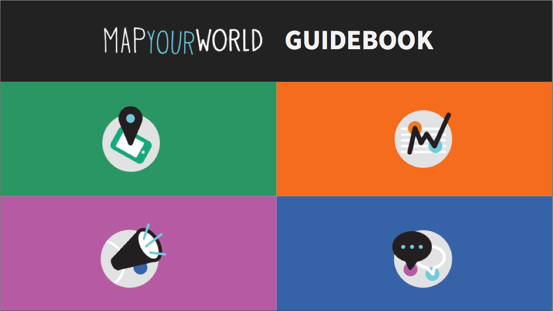
Map Your World is a story map project where students investigate the world around them, collect data, and act on that data to create long term positive change in their communities. Map It! Track It! Chane It! Share It! There is a 4 class curriculum or a 16 class curriculum to help take you through this project-based learning journey.
Picture
Mappatives - Story Maps. Give your students hands on mapping projects. Using interactive maps.
Get Started Instructions Page

Picture
Global Nomads Group [GNG] "Fosters Dialogue and Understanding Among the World's Youth"  They have programs for international youth to connect and collaborate. They also have some excellent classroom resources: Open Educational Resources

Proudly powered by Weebly